The walk
The boardwalk walk to Upper Water Street
Casino Nova Scotia Halifax stands at 1983 Upper Water St, and the mapped harbour boardwalk passes 0.03 km from the building. The lines below measure it from the stops along the water, from Pier 21 to the ferry terminals on both sides of the harbour.
Written by the Harbour Walk desk Checked October 13, 2026
Measure your starting point
The harbour line
Straight lines from map coordinates · tap a flag
Stops are placed by straight-line distance from the casino on a compressed scale, not by map position.
- Canadian Museum of Immigration at Pier 211.86 kmsouth-eastWalk
- Maritime Museum of the Atlantic0.71 kmsouth-eastWalk
- Halifax ferry terminal, George Street0.49 kmsouth-eastWalk
- Dartmouth Ferry Terminal, Alderney Drive1.35 kmnorth-eastWalk
- Woodside Ferry Terminal, Dartmouth2.14 kmeastWalk
- Halifax Citadel National Historic Site0.59 kmsouth-westWalk
- Halifax (centre)0.9 kmsouth-westRoute
- Dartmouth3.0 kmnorthRoute
- Bedford11 kmnorth-westRoute
- Cole Harbour7.3 kmeastRoute
- Lower Sackville16 kmnorth-westRoute
- Fall River19 kmnorthRoute
- Windsor58 kmnorth-westRoute
- Lunenburg66 kmsouth-westRoute
- Wolfville79 kmnorth-westRoute
- Bridgewater81 kmwestRoute
- Truro82 kmnorthRoute
- Kentville87 kmnorth-westRoute
- New Glasgow127 kmnorth-eastRoute
- Amherst140 kmnorthRoute
- Antigonish165 kmnorth-eastRoute
- Yarmouth222 kmsouth-westRoute
- Sydney311 kmnorth-eastRoute
Straight lines between map coordinates (OpenStreetMap); walking and driving routes are longer.
The boardwalk itself
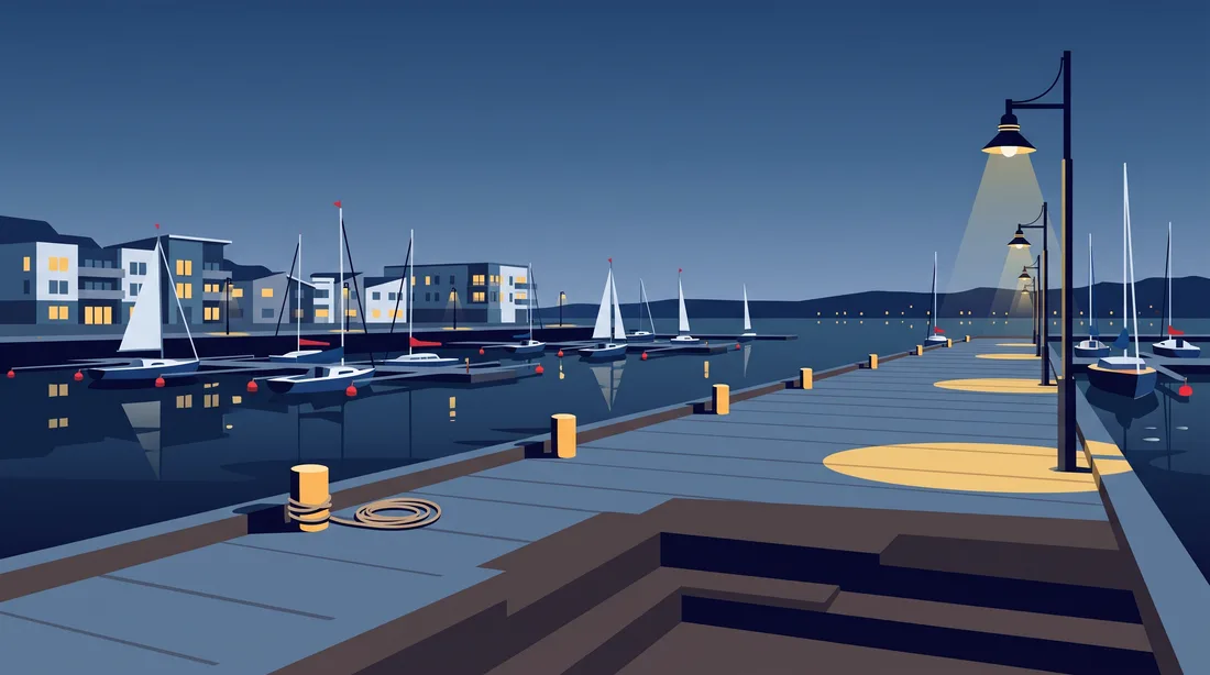
The Halifax Waterfront Boardwalk is mapped as a footpath along the harbour edge. Much of it is wooden, and it is lit at night. Its nearest mapped stretch lies 0.03 km from the casino building at 1983 Upper Water St, so you meet the path almost at the door.
Heading the other way, mapped stretches of the boardwalk run as far as 1.02 km south-east of the casino. That is the direction of the Halifax ferry terminal and the Maritime Museum of the Atlantic. Setting out from either, look for the boardwalk on your map and follow it toward the casino. Questions for the casino itself go to 902-425-7777.
Starting from the south end
You can start as far south as Pier 21. The Canadian Museum of Immigration at Pier 21, on Marginal Road, is 1.86 km south-east of the casino in a straight line. Closer in, the Maritime Museum of the Atlantic on Lower Water Street is 0.71 km away, also to the south-east. The Halifax ferry terminal on George Street is nearer still, at 0.49 km.
These are straight lines between map coordinates, not routes. Walking routes are longer, and this guide gives no walking times. To the south-west, the Halifax Citadel sits 0.59 km from the casino. Plan the walk on your own map and treat each figure as a minimum.
Coming over from Dartmouth
Two ferry terminals sit across the harbour in Dartmouth. The Dartmouth Ferry Terminal on Alderney Drive is 1.35 km north-east of the casino in a straight line. The Woodside Ferry Terminal is 2.14 km away, to the east. Both are straight lines over water, not the ferry's route.
On the Halifax side, the mapped ferry terminal is on George Street, 0.49 km from the casino. Mapped stretches of the boardwalk run from that direction toward the casino building. Ferry schedules are not part of this guide. Check them with the ferry service before you cross.
What is open when you arrive
Live tables on the main floor run every day from 2 PM to 3 AM, Atlantic time. The high-limit area opens at 5 PM and runs to 4 AM, every day. Poker is Wednesday to Saturday, 4 PM to 2 AM. The slot floor's hours are not published, and holiday hours should be checked on greatcanadian.com.
Bring valid government photo ID, such as a driver's licence, passport or provincial ID card, since entry is 19+. If you look younger than 30, staff may ask for a second piece. At the casino, the Compass Room is a circular events room with a panoramic view of Halifax harbour. It holds up to 200 people.
Questions from the waterfront
How far is the Halifax ferry terminal from the casino?
The terminal on George Street is 0.49 km south-east of the casino in a straight line. The walking route is longer than that.
Does the boardwalk reach the casino?
Its nearest mapped stretch is 0.03 km from the casino building. Mapped stretches run as far as 1.02 km south-east, toward the ferry terminal and the Maritime Museum.
How far is Pier 21 in a straight line?
The Canadian Museum of Immigration at Pier 21, on Marginal Road, is 1.86 km south-east of the casino. That is a line between map coordinates, not a walking route.
Is there a ferry from Dartmouth?
Two ferry terminals are mapped in Dartmouth: the Dartmouth Ferry Terminal on Alderney Drive, 1.35 km north-east, and the Woodside Ferry Terminal, 2.14 km east. On the Halifax side, the mapped terminal is on George Street. Schedules are not part of this guide.